|
Inverary not Contrary Spring 6 hr: 11am - 5pm Spring 12 hr: 11am - 11pm |
 Final Instructions
 Important
Please bring to the event a printed and completed indemnity form located here. Check the team list for your relevant event on the home page to ensure that all details for your team including category are correct.
-
- Ensure that all team members sign a separate indemnity form. Parents or guardians must sign for people under 18. Also provide registration number(s) of your car(s) at the Hash House.
- Medical advice: All competitors should consider advising their partner of any pre-existing medical conditions (such as diabetes, asthma, epilepsy, susceptibility to anaphylaxis) that may require first-aid action on course. This should include a description of the symptoms, the required first-aid action, and the location in their bag of any medication (such as sugar, ventolin, epi-pen, anti-histamines).
- Present your completed indemnity form at the registration desk.
 Where
Where
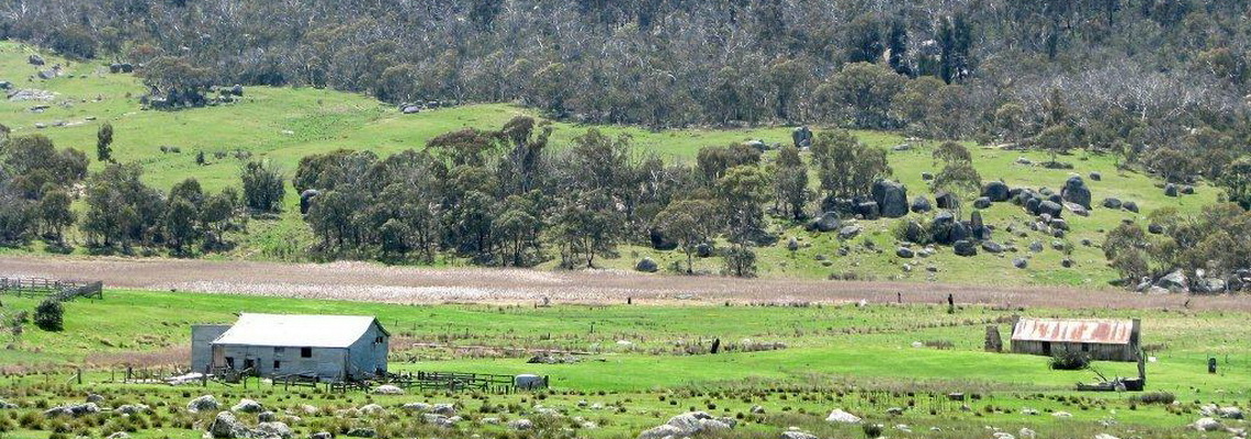
The Hash House is located on Inverary Road east of the small township of Bungonia. The event will be in Morton National Park and adjoining private farmland.
It takes 1.5 hours to drive from Canberra. Take the Federal and Hume Highway to Goulbourn. Take the first Goulbourn exit. Turn right at the huge roundabout over the highway towards the "Abattoirs". At the T intersection turn left onto Garroorgang Road. After 2kms turn right and wiggle under the railway (a tight corner). Turn right on Braidwood Road, cross the creek and turn left onto Brisbane Grove Road. Turn left on Windellama Road and shortly after, right onto Mountain Ash Road. (All this wiggling is only 6.5kms but avoids a lot of roadworks in Goulbourn). Follow Mountain Ash road to the little town of Bungonia (22kms). Turn left at Goderich Street* which is opposite the big green Fire Station. (This is past the "Bungonia National Park sign.) This becomes Inverary Road which you follow to the HH site. It is 6.5kms of good quality unsealed road, but narrow in parts.
Coming from the north - It takes about 1.5 hour to drive from Campbelltown (western Sydney). Follow the Hume Hwy south to Marulan. Take the first exit to “Marulan South, Bungonia”. Follow Jerrara Road south to Bungonia township (15kms). Turn left onto Goderich street* (see above).
The HH address is 716 Inverary Road Bungonia. View on Google maps
The GPS location of the HH is S34 o 53’701 E149 o 59’119. The grid reference is 55H 772805 6134530
 Registration, Map Availability, Start Times
The event will commence by way of a mass start at 11:00 sharp, with a final briefing at 10:50am. Registration will open at 8:30am. To register for you will need to bring:
-
- first aid kit, so that it can be checked (see below for what it must contain); and
- one completed indemnity form per team member.
Electronic scoring: As this event is also using the Navlight system of scoring, each team member will be issued with a wristband and tag upon registration.
You will also be given premarked maps, control descriptions, course setter's notes and a small copy of the map to be used as a flight plan. We recommend that you arrive at least an hour prior to the start of the event to allow enough time for final preparations and route planning. As they say "Time spent on planning is never wasted". Each team must mark their intended route on the flight plan and hand it in before starting.
 Map Details and Vegetation
There will be one A3 map, 1:25,000 with 10 m contour interval, printed on teslin paper. The area contains mainly native bush with some bushy and open farmland. It is undulating to flat and the bush is very open. There are occassonal scratchy bushes so bring the gaiters. The map shows vegetated land green and clear land as white. It is aligned to magnetic north and the north lines are red. The out-of-bounds areas are hatched red but the map can still be seen underneath.
There are 49 checkpoints in total. The lowest worth 40 points and the highest 100. The value of the checkpoint is equivalent to the tens e.g. checkpoints 50-59 are all worth 50 points. The checkpoint descriptions follow the rules:
-
- If the feature is shown on the map, then it is described as “The … (knoll, saddle ..)”;
- If a feature is not shown on the map, but is obvious on the ground, then it is described as “A … (knoll, saddle etc.)”;
- “The watercourse” will be marked with a blue line on the map;
- “The gully” will be a similar feature, but will not have a blue line on the map (Note: gullies and watercourses may be the same size – despite the blue lines).
The map has been generated using Lidar information which means it is more accurate so you shouldn't make any navigational errors!! However, there are occassional anomalies such as the blue line of a creek is not actually in the V of the contour line. Where the contour lines run parallel on both sides of a creek it generally indicates steep eroded sides. Some of these are 4-5m and the sides can be undercut and unstable. Approach carefully and/or avoid. The wombats have usually made paths across creeks.
 Water
Water
Please bring enough water for at least 6 hours while on the course. There will be 2 water drops but there is almost no water in the creeks when we hung the controls. We do not recommend drinking any water found on course unless it is very well sterilised. Please bring enough water to be self-sufficient at the HH.
 Please Bring to the Event
-
- completed indemnity form;
- Contact or map case optional. The map will be printed on Teslin waterproof paper with control descriptions on reverse side.;
- Coloured pens, pencils, scissors, highlighter pen, board for map preparation;
- plate, bowl, cup, cutlery (so you have something to eat the hash house food with - we don't provide disposable items!);
- a seat each to use at the Hash House; and
- your own camping equipment if staying Friday or Saturday night.
 Camping
Free camping is avaiable on Friday and Saturday nights at the HH, courtesy of the local landowner. Please respect this - no fires and please don't litter. There are no services although we will have the portaloos. There is plenty of room for tents on level grass.
 Carry on Course
Mandatory Equipment
-
- Whistle (per person);
- Thermal / space blanket (per person); and
- Basic first aid kit (that includes 2 compression bandages and 1 wound dressing) (per team)
Other items we recommended that you carry
-
- food for the event
- water for 6 hours (depending on your course plan)
- compass
- gaiters - highly recommended for snakes and scratchy bushes
- watch
- mobile phone for emergencies
- Sunscreen, sun-hat and/or beanie
- raincoat, warm jacket. It may be cold. Warm clothing and a raincoat is highly recommended.
- thermals
- gloves
- beanie
 Mobile Phone Coverage
Phone coverage is poor except on the high ridges, and is phone dependent. There is mobile phone reception at the HH. The emergency phone number is printed on the front of the map and is 0457 364 319. We recommend that you carry a phone to be used ONLY in case of emergencies.
 Restrictions
-
- No pets; no alcohol; no firearms: no fires. The bush is very dry and risk of bushfires is high.
- No altimeters, pedometers or GPS-capable devices such as watches and smartphones.
- Smartphones may be carried for emergency use only - they cannot be used for any other purpose eg time-keeping or photography.
 Summary of Event Rules and Scoring
-
- The only navigational aids permitted are the maps we provide together with your compasses.
- Teams consist of 2 to 5 competitors and must remain within earshot of each other at all times. All members must simultaneously get to within 5m of each control point.
- All team members must punch their Navlight tags at each control to score points.
- If a Navlight punch has failed, record the three letter code visible inside the end of the punch.
- Competitors must not enter out-of-bounds areas; gates must be left as found; stock must not be disturbed.
- The organisers may disqualify a team if it acts against these rules or against the spirit of the event.
- A team can retire a member at the hash house. This will finish that team's event. A new team can form but it must start with zero score.
- Late Penalty: 10 points per minute (or part) late. Disqualification if more than 30 minutes late.
- If teams score equal points then the first team home will have a higher rank.
 Presentation and Awards
-
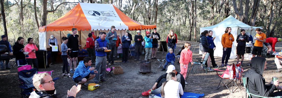
- Food and drinks will be available from 4:00pm. Bring your own eating utensils !
- Certificates and Mugs for winners. Mug for winning??


